
Site in Focus - WWII on Staney Hill
- Archaeology Shetland
- May 13, 2015
- 2 min read

Overlooking Clickimin Loch in Lerwick, Staney Hill formed a part of the Robertson Line (named for Commanding Officer Lieutenant Colonel Robertson though often also referred to as the Staney Hill Line) in defence of Shetland and most immediately Lerwick itself in the event of a German land invasion during WWII, an event that never transpired. However, it left behind a robust defensive system much of which is still visible today.
The most obvious structure on this part of the line is the spotting tower/observation post with trenches, bunkers and underground accommodation as well as two mounts on the northeast slope of North Staney Hill with a commanding view of Lerwick, Bressay and the sea beyond. It’s understood many locals have distinctly non-military-related memories of this place whilst for others it’s just the peculiar concrete structure hanging onto the side of the hill above town. Regardless the affinity, it is well worth a poke around inside this remarkably intact site.
Moving west along Cunningham Way you will witness both sides of the road cut deeply with trenches and bunkers and a look from this position down to the Burn of Gremista shows some of the large concrete tank obstacles still in place. If you continue this trek along Cunningham Way to Sandy Loch you will see dragon’s teeth, another form of tank obstacle, and the shores littered with barbed wire pickets.
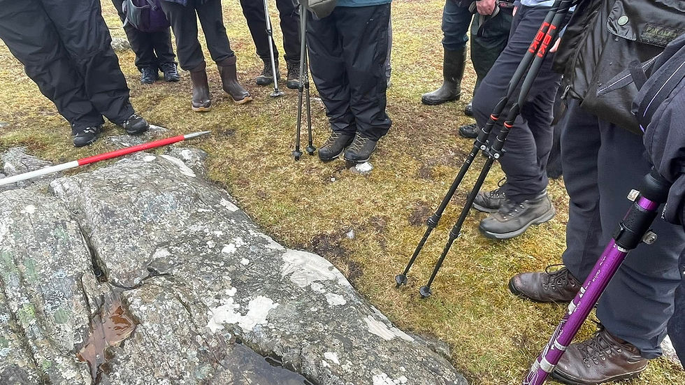
The ridgeline on the return walk is perhaps the most rewarding for taking in the proposed 360° battlefield with yet more trenches, bunkers and pillboxes. From here you get a real feel for the high ground and with a little imagination the proposed kill zones for funnelling German troops and transport. The more astute observer will also note a series of what appear to be foxholes just to the west of the cairn marking the highest point.
It is for these reasons we find this area one of the most compelling of all the WWII sites still existent; it’s rare to get a glimpse of defence in depth from the perspective of the infantry.
Some quick notes of interest: the Robertson Line stretched through Gremista, Upper Sound, Staney Hill, Greenhead and Point of Scattland (these last two were coastal batteries lost to harbour redevelopment) and the roots of some of these structures, particularly the trenches and dugouts, can be found in WWI where practice trenches were dug in the hillside behind Hoofields in 1915. For the math wizard that’s 100 years right there!
Links for further reading:
Canmore (note some of the NGRs are inaccurate)

Pillbox, aperture style opening on opposite side.

Photograph courtesy of the Shetland Museum Photo Library, no. SM00277 by R Ramsay 1915.
The Photo Library of the Shetland Museum houses some 60,000 photographs dating from the 1880s until today.
"Soldiers of the Shetland Companies Gordon Highlanders digging trenches at Hoo Field."

Comments