
Site in Focus - The Mystery of the Stones
- Stephen Jennings

- Jun 11, 2020
- 2 min read
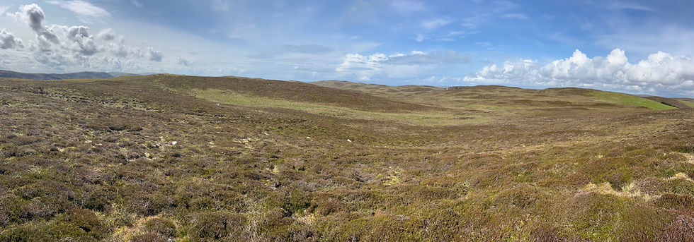
In our ongoing work with the North Roe Felsite Project (see here), and for the sheer pleasure of walking in remote places, we have come across many dozens of small, corbelled cairns that are hollow inside. Dotted throughout the entire landscape, from the opening slopes of Collafirth Hill to the seas on the edge of Ronas and all points north into the empty expanse, we’ve also found them outside the area and as far afield as the Ollaberry Junction. Yet, the purpose of these eludes us and our hope is you can help solve some the mystery of the stones; again.
Our initial reaction when we began to take notice was perhaps waypoints or temporary shelters in the case of a squall where you could quickly jump in and cover yourself with a skin. It’s not unprecedented, there are many temporary shelter locations underneath large boulders where walls have been built up and a person could spend the night. One such has a small cubby hole inside, presumably for the storage of necessities.
However, as we began to pay more attention to finding them – and it is very much like looking for a needle in a stack of needles as anyone who is familiar with that landscape can readily attest – we began to find them in various sizes and shapes as the pictures below will show. The shelter idea was quickly discarded as a primary answer, as was the waypoints, when we started finding them with as small a diameter as 0.25m and built into the sides of small cliffs or fashioned out of an entirely different structure altogether. Moreover, we found some too large – well over 1m tall and 1m diameter in the case of the largest thus far.
We then started noticing more rectangular structures that were capped. One fine example is .5m wide by 1m long and .5m in depth. A similar sized and constructed feature was found that later had one half of it made into a round hollow cairn. The largest of these rectangular structures, outside of the lintelled galleries found near Grut Wells and Beorgs of Uyea, is out at the Lang Clodie Wick wheelhouse where the nearby structure is 2.5m long, 1m wide and 0.75m in depth.
We are fairly confident that most, if not all, don’t stretch back into antiquity but are likely a post-medieval construction. We also believe that the structures aren’t ‘connected’, that there were different uses for the variety of sizes and the immediate landscape in which they were built. We feel we can rule out the NATO exercises (information here) as they bear no resemblance to the structures that were modified and utilised, have no obvious military application and many are found well outside the area.
Perhaps some of the smaller were food/fuel caches or something similar and may some have indeed been temporary shelters? Might they have been used to store kills whilst out rabbit or bird hunting? Perhaps they have an earlier crofting function? Are they found in abundance outside of Northmavine or are they specific to this location or are they just preserved in this location due to the lack of development and thus had a more mundane and widespread use?
We put these questions to you.


Comments